The Wild Basin area is located in the southeast corner of the park, about 15miles south of Estes Park; just far enough away to keep many people away. The area is dominated by water - marked by beautiful lakes and waterfalls. By the end of the summer, it was also an area dominated by hungry black bears who grew smart and started breaking into cars. No bears this day, however; just a light breeze, some sunshine, and lots of waterfalls.
From the Wild Basin Trailhead, Copeland Falls is 0.3miles away, Calypso Cascades is 1.8miles in, and Ouzel Falls is 2.7miles and you gain just under 1,000ft in elevation along the way.
Beyond Ouzel Falls lies Ouzel Lake and Thunder Lake - both on my to-do list for next summer =]
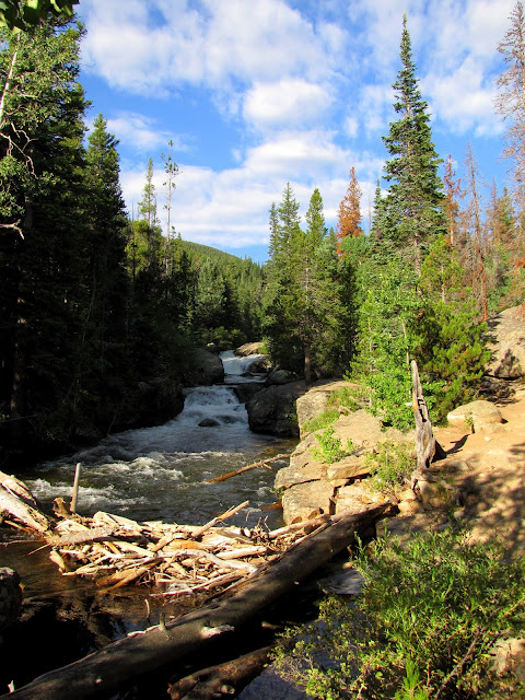 |
| The North Saint Vrain Creek, looking west towards Copeland Falls |
 |
| The lower portion of Copeland Falls |
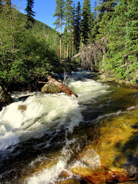 |
| The way the light was hitting the roaring St. Vrain and the surrounding rocks was mesmerizing. |
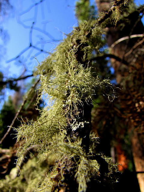 |
| Many trees in the area have this moss-like growth all along their branches. |
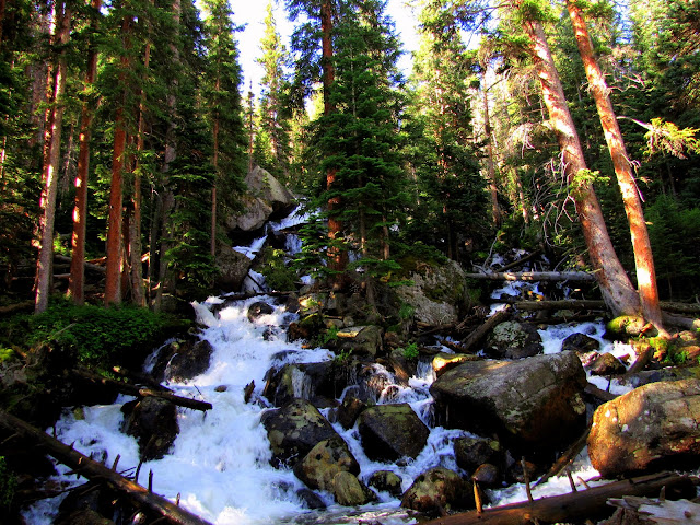
After following the river someways, you come to Calypso Cascades. Surrounded by trees, the cascade is quite incredible. The falls was named after the
Calypso Orchid, which I had seen on my previous visit to Wild Basin; unfortunately, it was a bit late in the season to spot them this time around.
I had a bit of fun messing around with my camera settings; bear with me here on all the C.C. pictures.
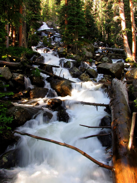 |
| Calypso Cascades |
 |
| Calypso Cascades |
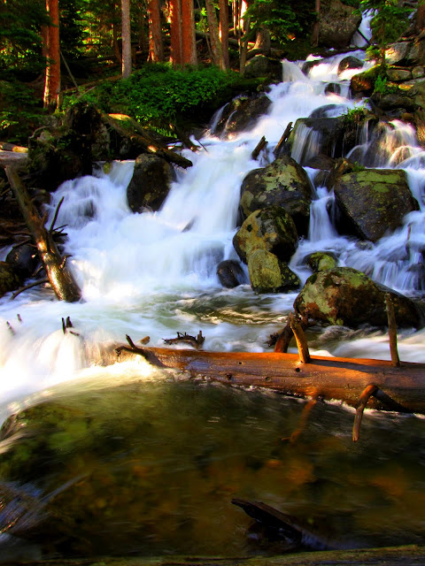 |
| Calypso Cascades |
 |
| Calypso Cascades |
 |
| Calypso Cascades |
Cony Creek, which rushes down through Calypso Cascades and into North Saint Vrain Creek, meets up with Ouzel Creek a bit further up the trail.
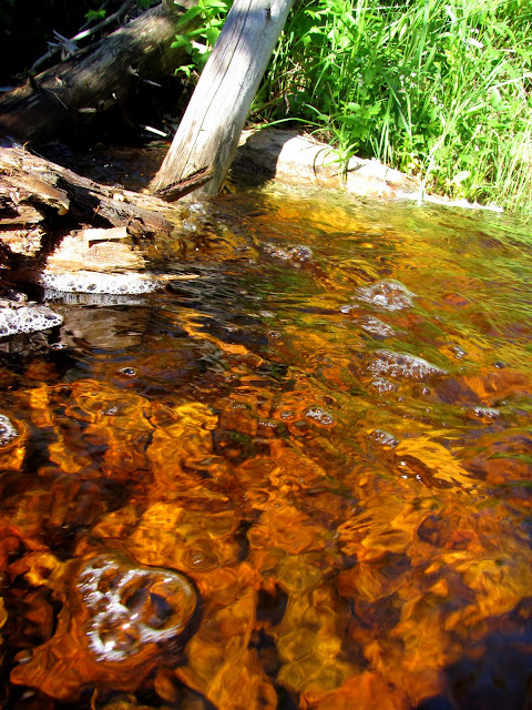 |
| Water from Ouzel Creek pooling alongside the trail. |
 |
| Trees. Lots and lots of trees. I know a picture cannot really capture the essence of it all, but I was struck by just how many trees there actually were. |
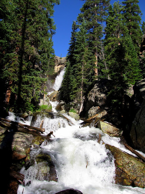 |
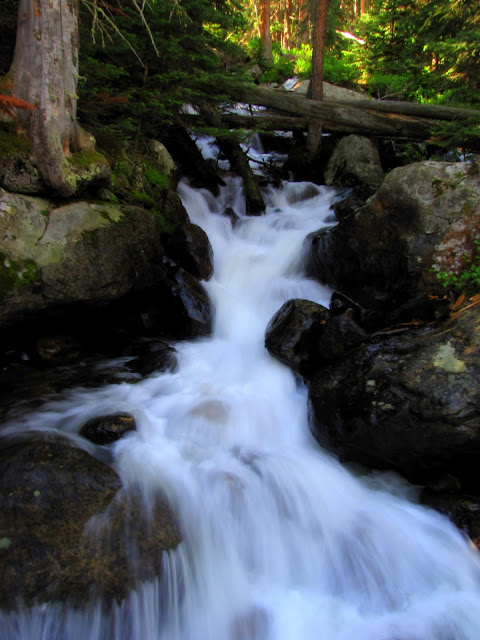
| Downstream along Ouzel Creek, looking up towards Ouzel Falls. |
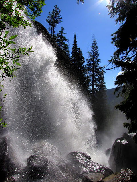 |
| Off-trail a bit, and alongside Ouzel Falls |
 |
| Happy, and a bit wet. |
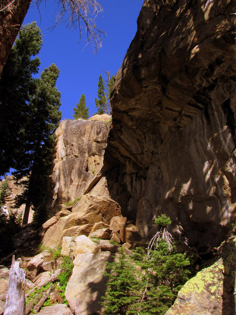 |
| This is just to the left of the falls themselves. I climbed up here, finding quite a bit of snow (which is barely visible in the upper left). |
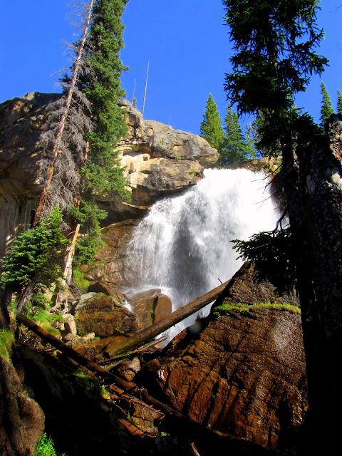 |
| Ouzel Falls |
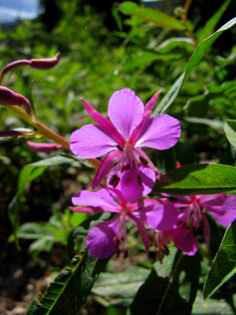 |
| Fireweed |
One of the best parts of dragging yourself out of bed and getting on the trail real early is that you are likely to have the place to yourself. On the way to Ouzel Falls I ran into two or three couples. By the time I made it to the falls and clambered around for a bit, I had the waterfall to myself. There truly is nothing like it - to have solitude, to have lakes and rivers and whole forests to yourself.
On the way back to the trailhead I ran into plenty of people (some of which are visible in the picture below).
 |
| Asters (or daisies?!) |
 |
| Marioposa Lily |


