Friday, August 12, 2011

Two four-letter words: Pika(s) and Lake(s)


This hike, easily one of my favorite in the entire park, is part of a five lake loop - Bear, Helene, Odessa, Fern, and Cub. Best started at the Bear Lake Trailhead, as most of the distance winds up being downhill and after 10+miles, all the uphill can be quite exhausting.

Bear Lake looking towards Long's Peak

Fireweed around Bear Lake

Past the Flattop Trail Jct, looking out into a sea of evergreens towards Bierstadt Lake
(which I hiked a couple of weeks ago.)

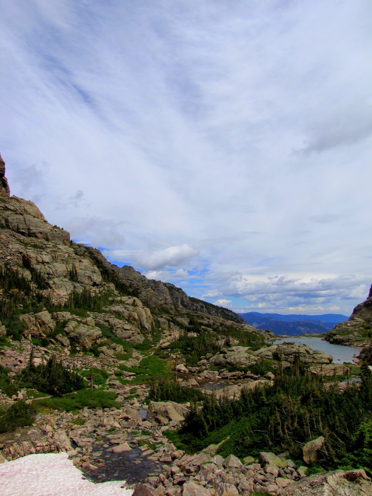
The trail opens up into a green meadow looking towards rocky hills.

August and still snow on the ground!

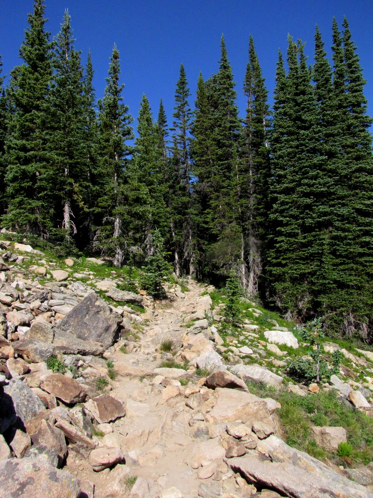
Back in the sunlight on a rocky path I hear what has become one of my favorite sounds...

...the squeak of a Pika!

This little guy sat around on the rocks near my feet for a while.


Back into the woods to Lake Helene

Climbing a bit off trail onto a nice rock overlook, you can see Lake Helene on the left, Notchtop Mtn on the right, and several waterfalls in between.

From the same overlook, looking into Odessa Gorge towards Odessa Lake

Lake Helene
High waters overflow a small stream bed looking out towards Odessa Gorge
The trail down to Odessa Lake, along the west side of Joe Mills Mtn*
(*one of my favorite coworkers is Joe Mills' granddaughter, Enos' grandniece, and Bob Flame's daughter!)

The trail follows a clear streaming originating from the southern end of Odessa Lake


Odessa Lake.
The waters were so clear, I watched the water soiled when rinsing my hands of dirt and sweat.


I sat for nearly an hour on the rock in the center, watching the sunlight flicker on the surface.


Back towards the main trail

First glimpses of Fern Lake
Fern Lake
Fern Falls

Friday, August 5, 2011

Mt Ida: 12,880ft

Poudre Lake in the early morning sunshine
(which readily shows the damage to my lens acquired during the last hike)
Woke up early Friday morning to head over Trail Ridge Road to Milner Pass with four of my park cohorts. Having heard that the Continental Divide Trail towards Mt. Ida was "beautiful, like being in Tibet," we were very eager to hit the trail.
The trail quickly rises above treeline, and much of the hike goes along the edge of many rolling peaks. At the peak, Mt. Ida is 12,880 ft, the highest point of land I have ever stood upon; 5.5miles one way and 2,112ft elevation gain (quite a doozy when you're already starting above 10,000ft).

Dave leading the way, with Diana, Kristen and myself following behind. 

the tundra wildflowers were still very much in bloom above treeline

looking towards Grand Lake (far off in the distance)

the Never Summer Mtns. Towards the center you can see Trail Ridge Road winding through the pines. Just above and more to the left is the Grand Ditch, which moves water from the Colorado River north towards Wyoming.

One of only two times I saw bighorns in the park. These lovely ladies (there were about 5-6) ran right alongside us for a bit.

Bighorn sheep!

Western Yellow Paintbrush

Western Yellow Paintbrush

Within the boulderfield, very near the peak, looking out towards the Never Summers

Kings Crown
From the peak of Mt. Ida, looking southeast
(panorama, click for larger image)

from the summit of Mt. Ida, looking west towards Grand lake
(panorama, click for larger image)

Thursday, August 4, 2011

towards Sky Pond

To get to Sky Pond, one much travel past several lakes along the way. 
From the Glacier Gorge trailhead, it is a 4.9mile (oneway) hike with an elevation gain of 1,440ft.
The trails winds past the quaking aspen grove, past Alberta Falls, following the same trail that takes one to Mills Lake. This time around the wild raspberries were blooming on the rocky hillsides. 
Very tasty, very tart, very juicy.


After the Mills/Loch junction, the trail starts to climb upwards in switchbacks, looking down over Icy Brook (which was no longer icy, although there was plenty of snow before the Loch).

After crossing a snowfield we arrived at the Loch, about 2.8miles from the trailhead. Up until this point, it had been rather cloudy. When we arrived at the lake, the sun decided to bless us with her presence for a short bit.
Loch  Vale
 The trail winds around the north end of the lake, into wet and marshy sub-alpine forests. 

the aptly named Little Pink Elephants are often found in marshy areas in the park.
this was the first decent picture I got of them, although definitely not the first time I saw them.
 We ran into a bit more snow as we approached Timberline Falls. To get to Sky Pond you have to climb alongside the falls. Earlier in the season the trek up was quite icy and a bit nerve-racking (or so I hear). Due to the high snow melt, the falls had overflown their normal course and were flowing over the trail, making for a slippery ascent. 
Loch Vale, as seen from the base of Timberline Falls

Timberline Falls, with our trail on the far-right. Snow still lined the base of the falls.

Up to Sky Pond via Timberline Falls
Trail winds around Lake of Glass...

...through stands of Columbines....

....and small shrubs (nearly above-treeline here)...

...and finally ending at Sky Pond.

Sky Pond

Looking back towards Lake of Glass

Lake of Glass.

Back down Timberline Falls (where my camera smashed against the rock wall on the left, major lens damage acquired)

the Loch, or Loch Vale